


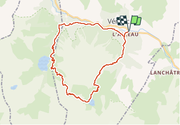

13.8 km | 24 km-effort


FREE GPS app for hiking
 SityTrail
IGN / Geographical institutes
SityTrail World
The world is yours!
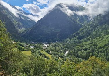
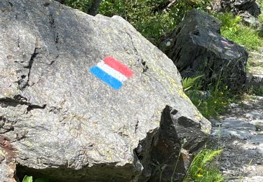
Trail On foot of 19.5 km to be discovered at Auvergne-Rhône-Alpes, Isère, Les Deux Alpes. This trail is proposed by evefrancois@orange.fr.
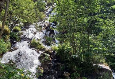
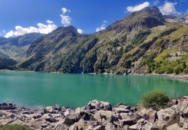
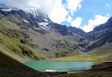
de Bourg d'arud, montée refuge et lac de la muzelle, puis a l'est ,col du vallon, et redescente par vallon du lauvitel, et son lac. arrivee au dessus des Gauchoirs , retour par la vallée du vénéon
Walking

Walking
Walking
Walking

Walking

Walking

Walking
Walking
Walking